Cleanup crews across North Texas started picking up the pieces and debris Monday left following severe storms that caused significant damage across much of North Texas. As of Monday morning, local emergency officials and the National Weather Service were still assessing the damage to determine the full strength of the storms.
Sunday’s storms left behind a path of damage that runs from Abilene to the state border and extended into parts of Central Texas near Waco. Representatives for the NWS plan to visit Bonham on Tuesday to assess reports of a potential tornado that may have touched down in Fannin County during the storms.
“We had a cluster of severe thunderstorms that moved through the region,” NWS Meteorologist Patricia Sanchez said Monday. “We knew it was going to be kind of an extensive event in terms of severe weather just because we had a good storm system coming down, but also our environment was very unstable.”
Much of the storm damage was the result of extreme winds, with recorded gusts of nearly 70 mph in Grayson and Cooke Counties. Meanwhile, Fannin County saw the brunt of Sunday’s damage along the Red River Valley, with reports winds in excess of 80 mph near Dodd City.
The significant weather was not limited to Texoma, however, and areas to the West of Fort Worth saw extreme winds as well. A tornado warning was also issued for areas around Mineral Wells, Sanchez said.
Other significant weather included isolated hail damage, including reports of hailstones in excess of one inch in areas near Denison. While attention is focused on Bonham, Sanchez said there have been reports of a possible funnel cloud near Sherman and Dorchester. However, meteorologists are still collecting data on the reports and have not confirmed if a tornado touched ground in Grayson County.
“We heard that there was some kind of funnel cloud there, so we are look back again,” Sanchez said. “In Bonham, we already kind of have a clue that we are going to go there. For the Grayson and Sherman area, we are just collecting data. on if it is true and was there any damage.”
In Grayson County, the most significant damage appears to have occurred near Collinsville where electric power infrastructure was impacted, said Sarah Somers, emergency management coordinator for Grayson County. The storms also did wind damage, including major damage in some unincorporated areas, to homes and other structures, she added.
More severe damage occurred in portions of Fannin County running from Lake Texoma throughout the county. A tornado warning was issued for the area and crews are still working to determine if one touched down Sunday night.
“From what I’ve seen it is probably going to be a low-end one,” said Fannin County Emergency Management Coordinator Troy Hudson.
“We still are (assessing damage) because it is widespread basically from the Red River all the way through Bonham and all the way out through Dodd City, Windom to Honey Grove,” he added.
As of Monday morning, crews were focusing their efforts in Bonham and Ravenna, which saw some of the more severe damage in the storms.
“It is sparsely populated, but there’s a lot of areas that have trees down, and that has kind of alienated some residents out there from getting in and out of their driveways,” he said, referring to the Ravenna area.
In Windom, crews were working to clean up a grain silo that had been pushed into another silo and was a threat for potential collapse, Hudson said.
“They are in a teeter-totter situation of collapsing, but the company that owns that is out there dealing with them now,” he said.
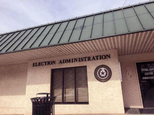
Monday, the Grayson County office of Emergency Management provided information about where people should reach out if they have experienced damage related to weekend storms.


